
Cedar Creek • Tour the Battlefield • Battle Maps • The Armies
The Shenendoah Valley orientation marker is at Stop Five, Belle Grove, of the Cedar Creek Battlefield auto tour. (see map below)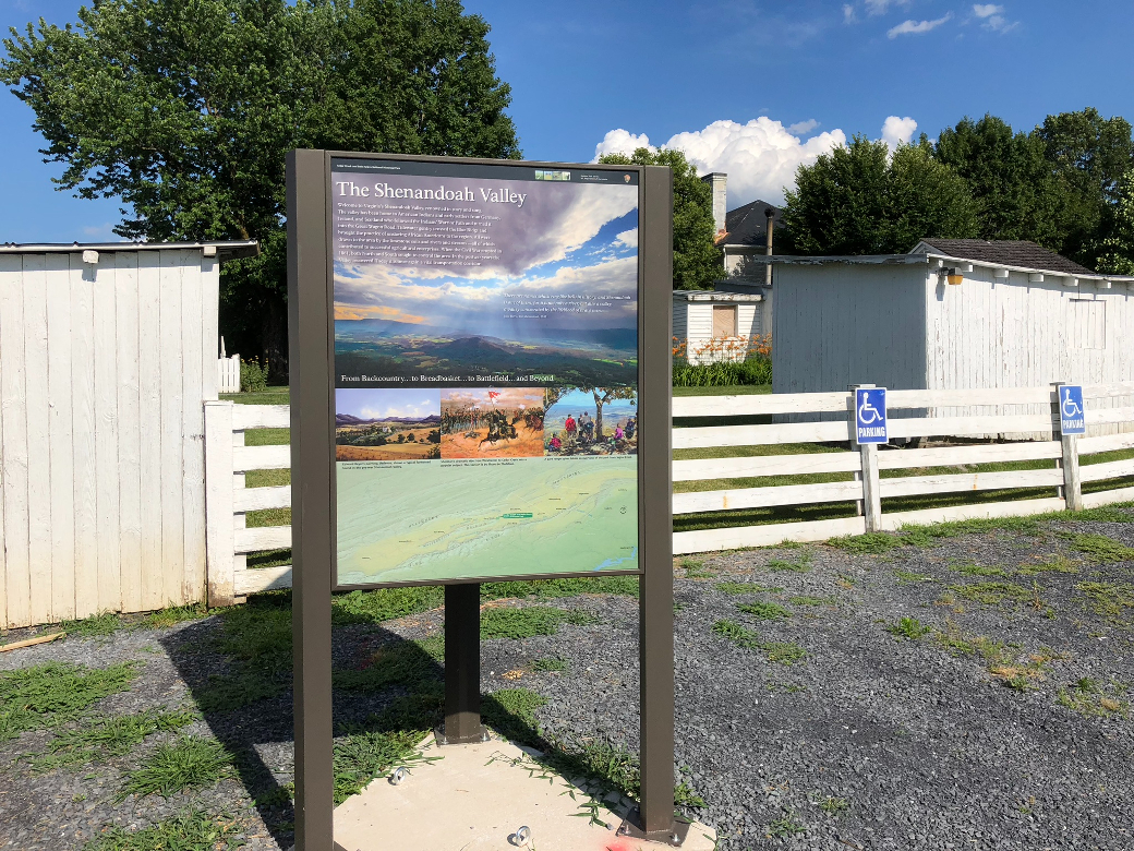
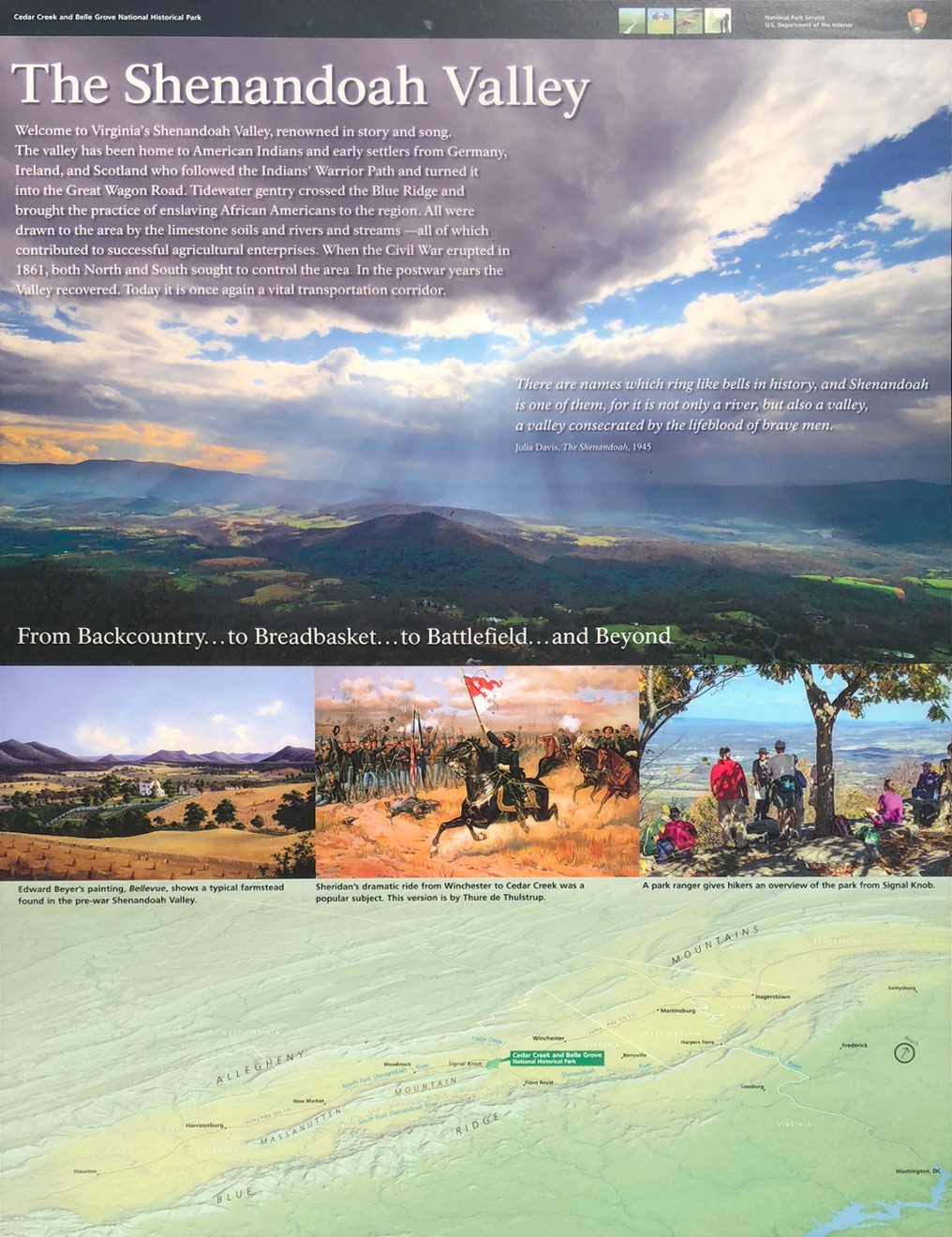
Text from the marker
Welcome to Virginia’s Shenandoah Valley, renowned in story and song. The valley has been home to American Indians and early settlers from Germany, Ireland, and Scotland who followed the Indians’ Warrior Path and turned it into the Great Wagon Road. Tidewater gentry crossed the Blue Ridge and brought the practice of enslaving African Americans to the region. All were drawn to the area by the limestone soils and rivers and streams—all of which contributed to successful agricultural enterprises. When the Civil War erupted in 1861, both North and South sought to control the area. In the postwar years the Valley recovered. Today it is once again a vital transportation corridor.
“There are names which ring like bells in history, and Shenandoah is one of them, for it is not only a river, but also a valley, a valley consecrated by the lifeblood of brave men.”
– Julia Davis, The Shenandoah, 1945
From Backcountry…to Breadbasket…to Battlefield…and Beyond
Captions from the small photos above the map
Edward Byer’s painting, Belleview, shows a typical farmstead found in the pre-war Shenendoah Valley.
Sheridan’s dramatic ride from Winchester to Cedar Creek was apopular subject. This version is by Thure de Thorstrup.
Apark ranger gives hikers an overview of the park from Signal Knob.
Location of the marker
Shenendoah Valley orientation marker is at Stop Five, Belle Grove, on the east side of the parkling area. (39°01’16.2″N 78°18’15.7″W)