
Petersburg • East • Southeast • West • Monuments • Markers • Facts • Timeline
 The “A Splendid Charge” and “Meade Station Trail” wayside markers are at Stop Three on the Petersburg Eastern Front Auto Tour. They are at the beginning of the Meade’s Station trail. This was the location of Confederate Battery 9 of the Dimmock Line, which was attacked and captured by African-American troops on the first day of the Petersburg fighting.
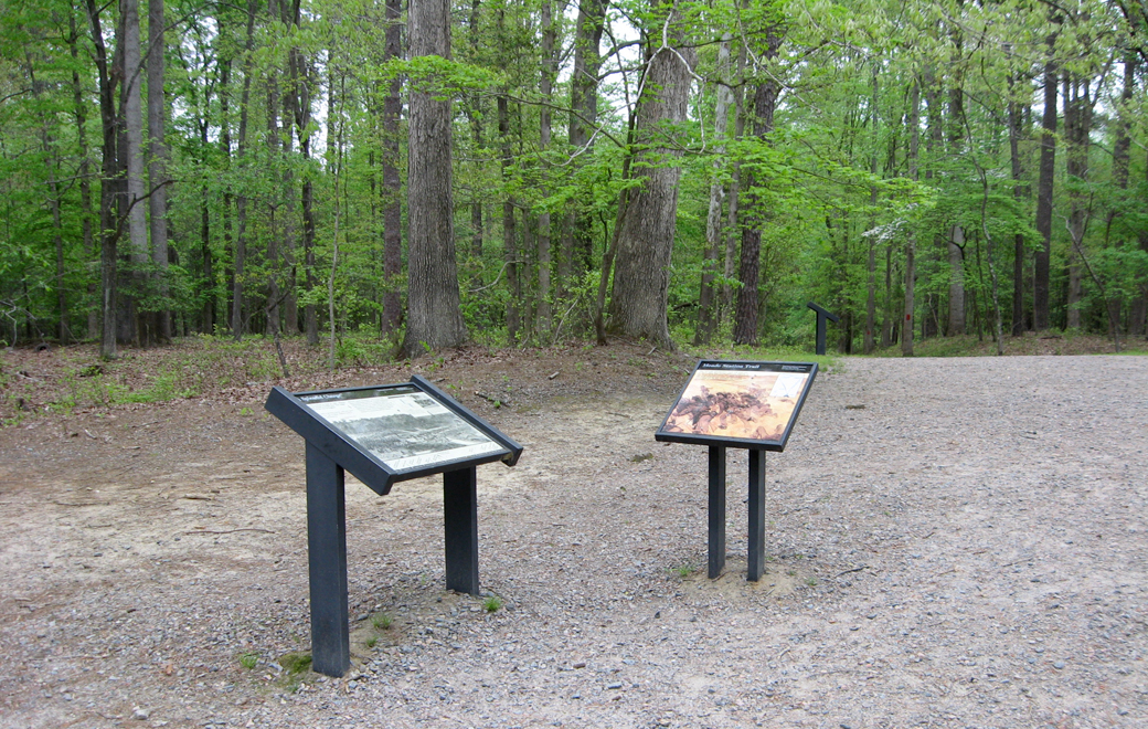
The two markers are next to each other.
Meade Station Trail wayside marker

Text from the marker:
Meade Station Trail
This 0.5 mile interpretive trail will lead you to three sites that reveal different aspects of the Siege of Petersburg. The path is of gravel; the walk is level and easy, the slopes not exceeding 5%. in dry weather, the trail is accessible to most wheelchair users.

A Splendid Charge wayside marker
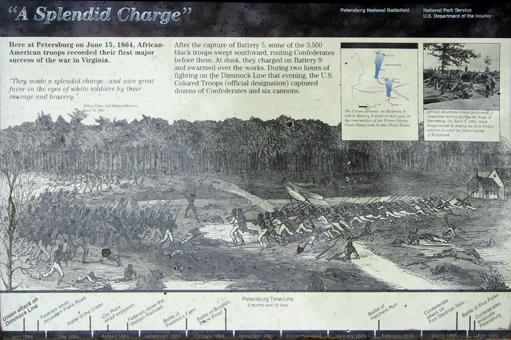
Text from the marker:
“A Splendid Charge”
Here at Petersburg on June 15, 1864, African-American troops recorded their first major success of the war in Virginia.
“They made a splendid charge…and won great favor in the eyes of white soldiers by their courage and bravery.”
– Wilbur Fiske, 2nd Vermont Infantry
June 19, 1864
After the capture of Battery 5, some of the 3,500 black troops swept southward, routing Confederates before them. At dusk, they charged on Battery 9 and swarmed over the works. During two hours of fighting on the Dimmock Line that evening, the U.S. Colored Troops (official designation) captured dozens of Confederates and six cannons.
Caption to the inset map:
The Union advance on Batteries 8 and 9. Battery 9 stood on this spot, at the intersection of the Prince George Court House and Jordon Point Roads.
Caption to the inset photo:
African-American troops performed important services during the Siege of Petersburg. On April 3, 1865, black troops would be among the first Union soldiers to enter the fallen capital of Richmond.
Location of the markers
The “A Splendid Charge” and “Meade Station Trail” wayside markers are at Stop Three is on the left side of Siege Road 0.9 mile south of the Visitor Center. (37°13’57.5″N 77°21’17.0″W)