
Cedar Creek • Tour the Battlefield • Battle Maps • The Armies
The 8th Corps Camps is Stop Two on the Cedar Creek battlefield auto tour. This was the left flank of the Union line at Cedar Creek. The first Confederate attack of the battle struck here out of the pre-dawn darkness and fog at 5:00 a.m., completely surprising and routing the 8th Corps. The Confederate attack then continued north toward the 19th Corps and Valley Pike (modern U.S. Route 11).
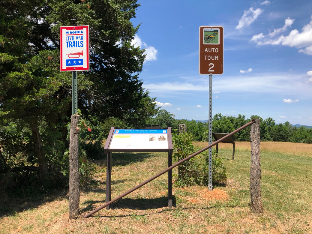
Markers at Stop Two:
- The Battle Begins orientation marker
- Surprise Attack wayside marker
- Thoburn’s Redoubt: “Like chaff before the wind” wayside marker
Map to Stop Two on the Cedar Creek Battlefield auto tour
From Stop One on the Cedar Creek Battlefield auto tour continue southwest 1.25 miles on the Valley Pike. Turn left on Water Plant Road (the 128th New York monument is on the right just before you make the left turn). Head south on Water Plant Road 1 mile, passing under the I-81 freeway. Turn right on Long Meadow Road for 1/10 mile, then turn right again on Bowman’s Mill Road. The unpaved rural road has a number of sharp curves. Follow it for 1 3/4 mile to Stop Two, which is on the right side of a sharp left curve. (38°59’55.6″N 78°19’10.8″W)
To get to Stop 3 – New York Monument.
Continue on Bowman’s Mill Road. Turn right at the intersection with Long Meadow Road to stay on Bowman’s Mill Road and continue 0.6 mile to the intersection with Long Meadow Road. Turn onto Long Meadow Road for 2.5 miles. Turn left onto Water Plant Road for 1.0 mile until you return to the Valley Pike, U.S. 11. Turn right onto the Pike, continue less than 100 yards and turn left into the parking are for Stop Three.
Along the way –
Bowman’s Mill Ford was at one time a stop on the auto tour. You can make a short diversion at the intersection with Long Meadow Road. Continue on Bowman’s Mill Road about 300 yards to the low water bridge which crosses Cedar Creek. This was one of the crossings for Early’s Confederates before the attack.
To continue to Stop Three:
Turn around and backtrack 0.1 mile back on Bowman’s Mill Road to the intersection with Long Meadow Road. Turn right onto Long Meadow Road for 1.6 miles. This puts you back on the tour route.
The confluence of Cedar Creek and the North Fork of the Shenandoah River is on the right about 1.2 miles along.
Long Meadow Farm is another point of interest that used to be a stop on the auto tour. It was the crossing point for Gordon’s Confederate Division before they circled around to Thoburn’s flank in the morning attack. Park on the right side of the road just beyond the driveway to allow other vehicles to pass. Long Meadow is privately owned and is not open to the public.