
Petersburg • East • Southeast • West • Monuments • Markers • Facts • Timeline
 The Crater is the final stop on the Petersburg Eastern Front Auto Tour. It is about 3.4 miles from the Visitor Center. (see map below)

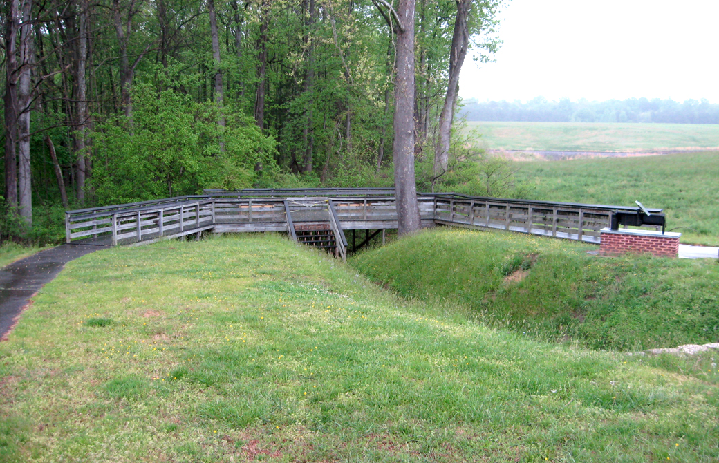
The Crater today. It was partially filled in and incorporated into the Confederate defenses right after the battle, then worn down by 150 years of weather and tourists, but its size can still be seen.
About the Battle
The Battle of the Crater was the site of one of the most dramatic and brutal scenes of the Civil War. Union troops – a regiment of Pennsylvania coal miners – tunneled under Confederate defenses. On July 30, 1864 they set off an enormous explosion, blowing up a large section of the Confederate defensive line and creating the crater that is still visible today.
Other Union troops poured into the gap but failed to exploit the breakthrough. Confederate counterattacks pushed them back into The Crater, where the disorganized and badly led Federals were massacred.
The Crater battlefield was in private hands until 1936, when it was acquired by the National Park Service to add to Petersburg Battlefield Park, which had been created ten years earlier.
Learn more about the Battle of the CraterBackground and Facts
|
Exploring the Crater Battlefield
Two trails leave the parking lot. One leads directly to and circles around the Crater, which is fenced off. There are still an unknown number of bodies buried there, and it is considered a grave site. Several monuments and markers line the trail and tell the story of the fight.
The second trail leads to the rebuilt entrance to the mine tunnel dug by the 48th Pennsylvania, then follows then path of the tunnel to the Crater. Along the way this path passes the site of the ingenious ventilation shaft, several depressions where the tunnel has collapsed and the site of the Confederate countermine.
The two trails connect at the Crater, making a loop of about a half mile.

Monuments around The Crater
Monuments and markers at the Crater:
A Stupendous Failure and The Crater wayside markers
2nd Pennsylvania Heavy Artillery monument
48th Pennsylvania – Crater of Mine
100th Anniversary of the Battle of the Crater
Confederate Counterattack wayside marker
William Mahoney monument
Mahoney’s Brigade monument
South Carolina monument
Monuments and markers along the mine trail:
48th Pennsylvania – Entrance to Mines monument
Confederate Countermine marker
Digging the Mine wayside marker
Ventilation Shaft wayside marker
Follow the mine trail from the entrance to The Crater
Location of the Crater, Stop Eight on the Petersburg Eastern Front Auto Tour
The Crater is on the right side of Siege Drive (which is one way westbound) about 3.4 miles from the Visitor Center. (37°13’06.6″N 77°22’39.9″W)
This is the last Tour Stop on the Petersburg Eastern Front Tour.Siege Drive (the park road) leaves the Eastern Front portion of the battlefield park in a short distance. It ends at Crater Road, (US-301 and Business US-460). But there is one more stop before leaving the park that is not part of the driving tour. The State of Massachusetts monument is on the left just before leaving the park. After leaving the park you can:
|